See our newly published paper in the journal Catena relating to this blog:
Borden, W.R., Kerr, B., Hallett, S.H. (2026) The Contributions of Frederick Hardy to Tropical Soil Science and Soil Survey, Catena. doi.org/10.1016/j.catena.2026.110008. Accessed at https://www.sciencedirect.com/science/article/pii/S0341816226002183.
The WOSSAC archive now holds over 25,000 soil related documents for 363 countries and territories, which are listed in an online catalogue. Efforts are now turning to building on this resource to trace the growth of land assessments such as soil survey mapping in both countries and regions and facilitate enhanced access to these materials by digitation of key items such as legacy soil maps. Slowly Country and Region overviews summarising land resources are being crafted and added to the WOSSAC website. These are supported by shorter focused Blog Posts added to WOSSAC which note aspects of the soil studies and the people involved in pioneering work.
A second strand of this work centres on compiling profiles of some of the early soil scientists who laid the foundations for all subsequent work. Recently the contributions of two prominent mid-20th century soil scientists and their colleagues have been analysed and papers published which summarise the work of these individuals to the advancement of soil science. Fred Hardy’s achievements can be compared with those of Geoffrey Milne and his colleagues in East Africa and C. F. Charter in Ghana. Milne›s most significant work was undertaken in the 1930’s while Charter’s work was two decades later (Borden, et. al, 1921; 1924; Young, 2007). The contribution of Hardy to the understanding of soil distribution in the Caribbean region, has been published as a paper in the journal Catena, as noted above.
An important aspect of the work of Hardy is that he entered the fledgling field of soil survey when it was beginning to be considered as an independent discipline - ahead of Milne and Charter - and was one of the first soil scientists to realise the relevance of ecology to agriculture. He achieved this through his recognition that emphasis needed to be placed on the crops farmers were presently growing, which would then lead to valuable insights with regard to the soil parameters vital to the crop. Building on this, Hardy therefore believed that soil surveys were an important facet in any understanding of agricultural production. This approach was a challenge to the then current thinking, where little attention was paid to farmer participation in land assessment. Only in the late 20th century with the growth of rural participation in development efforts, did soil studies begin to value the intrinsic knowledge of the farmers. Hardy’s ideas were supported by extensive research, supported by extensive field experience in soil survey, informing also his lengthy and far-reaching teaching career and shaping the training of many colonial agricultural officers, agronomists, and soil scientists over four decades. Subsequently he became to be one of the leading figures in tropical soil science in the first half of the 20th century.
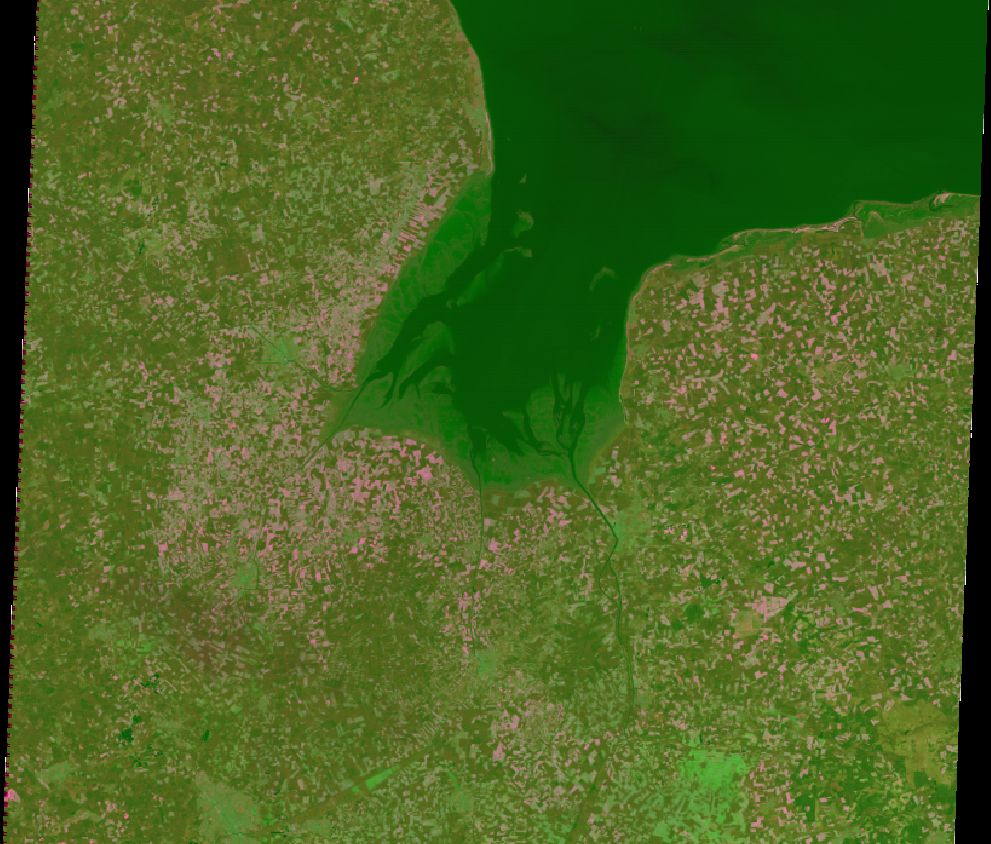
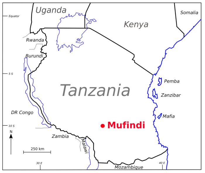
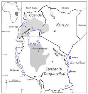
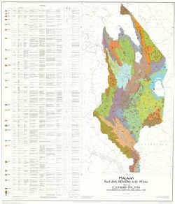
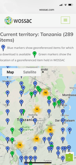
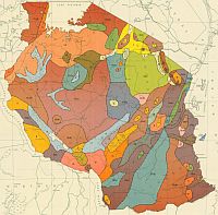
The WOSSAC archive has 13 of Hardy soil reports covering seven of the West Indies islands. The documents from St Lucia and Montserrat (WOSSAC ID 44834, and WOSSAC ID 44835) have been scanned and are available via the WOSSAC website. A full listing of this material is included at the national and regional summary page on the website. In addition, the website has a comprehensive note on the early efforts of soil scientists in Tanzania which has a rich history of soil mapping.
 ecosystem on the upland of Great Abaco, with a mature secondary growth and a very open understory")


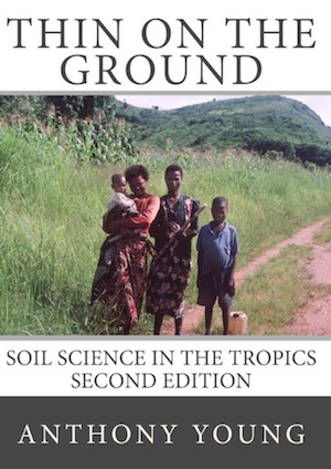
 Young, 1932-2025")


")


")


 with Brian Kerr and Ian Baillie in the archive")


 with WOSSAC’s Dr Ian Baillie")


")