Item detail - Results
New Search
Report an error or omission in this item's data
New Search
| Item | 40906 |
|---|---|
| UDC Class: | 631.473 (729.5) |
| Title: | Soil Survey of Puerto Rico |
| Subtitle: | |
| Language: | English |
| Subjects: | Soil Survey report and box of folded maps |
| Series Title: | 1936 |
| Series Section Number: | 8 |
| Publication Date: | 1942 |
| Publisher’s Name: | USDA |
| Place of Publication: | Washington |
| Project Sponsor: | Bureau of Plant industry |
| Author: | Robert, R. C. |
| Material Extent: | book of 503 pages plus a book of maps (six) |
| Material Accompanying: | Six coloured maps at scale I:50000 |
| Material Type: | Report perfect boundplus a map box |
| Summary Abstract: | This item has two seperate volumes-the report and map box. One WOSSAC # covers both |
| Region: | Caribbean |
| Nearest City: | San Juan |
| Northernmost Latitude (decimal degrees): | 17.8 |
| Southernmost Latitude (decimal degrees): | 17.5 |
| Easternmost Longitude (decimal degrees): | 67 |
| Westernmost Longitude (decimal degrees): | 67 |
| Map Scale: | 50000 |
| Document File: |  40906.zip (39.33 Mb) 40906.zip (39.33 Mb) |
| Thumbnail: | 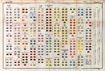 |
Report an error or omission in this item's data
New Search