Item detail - Results
New Search

Report an error or omission in this item's data
New Search
| Item | 989 |
|---|---|
| Title: | Land utilisation - 1944 |
| Subtitle: | Land utilisation |
| Language: | English |
| Subjects: | Agriculture, Land classification |
| Series Section Name: | Land utilisation - 1944 |
| Publication Date: | 1971 |
| Publisher’s Name: | NSRI |
| Place of Publication: | NSRI |
| Project Sponsor: | DEFRA |
| Material Extent: | Map |
| Material Characteristics: | Map |
| Material Type: | Map |
| Summary Abstract: | Land utilisation - 1944. At a scale of 10 miles to the inch. Coloured sheets with a simple legend. Part of Vegetation map of great Britain, which is grassland orientated |
| Country Now: | United Kingdom (UK) |
| Map Sheet: | 1 |
| Map Scale: | 625000 |
| Document File: |  989.jpg (16.00 Mb) 989.jpg (16.00 Mb) |
| Thumbnail: | 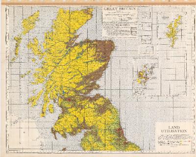 |
This item is part of the National Soil Reference collection held at Cranfield University. The collection underpins the Land Information System', or 'LandIS'
Report an error or omission in this item's data
New Search